According to the Resolution, the use and exploitation of agricultural land on riverbanks and alluvial islets along rivers with dikes for purposes such as agriculture, ecological farming, or agriculture combined with tourism and experiential education must satisfy the following conditions: the land must be legally managed or used, or its use must be authorized by a competent authority in accordance with land regulations.

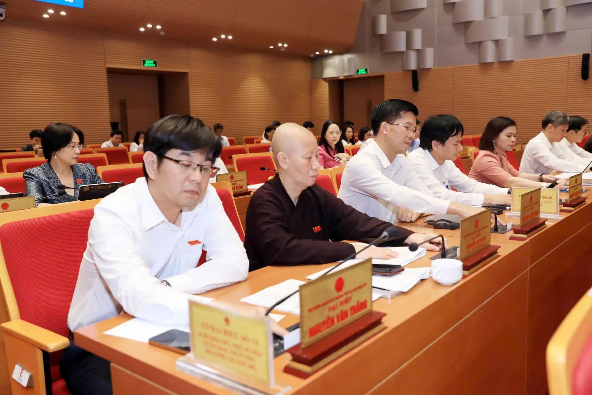
Delegates at the session.
Land use must also align with flood prevention and control plans for dike-protected rivers, dike planning, the general planning of the Capital, and other relevant planning frameworks. Activities must comply with laws on dike protection, irrigation, natural disaster prevention, land use, construction, and other applicable regulations.
Such activities must not increase disaster risks and must ensure environmental and water resource protection. Users must fulfill all financial obligations as prescribed by law and ensure compatibility with the area's topography, soil characteristics, environment, and hydrometeorological conditions.
A proactive plan must be in place to ensure safety during the flood season and minimize disaster-related damage.
The Resolution allows multi-purpose land use as regulated by land laws but limits impacts on the natural ecosystem, biodiversity, landscape, and environment. Any structures built on agricultural land on riverbanks and alluvial islets must be temporary, serve the approved purposes, and absolutely must not be used for residential purposes or for storing hazardous chemicals.
In terms of farming, priority must be given to cultivating water-tolerant crops that are suitable for the soil and climate conditions of the area. A portion of the land may be used to build facilities directly serving agricultural production.

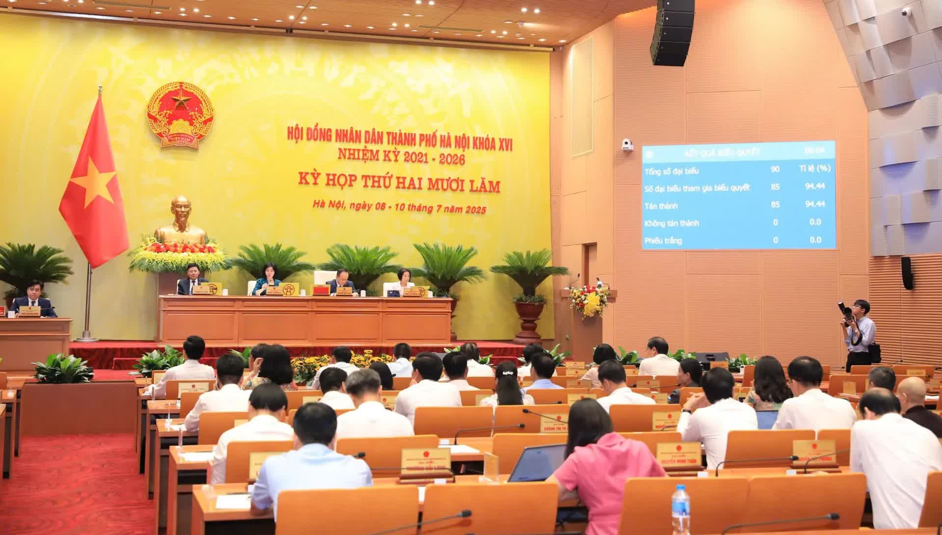
Overview of the session.
Conditions for using a portion of land to construct or install facilities directly serving agricultural production include the following: the land area must be at least 1,000 square meters (including one or multiple adjacent plots belonging to the same land user); the structure must be located outside dike and irrigation protection zones, outside areas at risk of landslides, and not subject to regular flooding; the land's natural elevation must be equivalent to or higher than the level corresponding to Flood Alert Level I in the area.
Users must commit not to backfill or elevate the existing riverbank and must agree to dismantle any structures without compensation when the permitted duration ends or if the land is reclaimed for public projects.
Regarding the size of facilities directly serving agricultural production: the maximum area is 10 square meters for plots between 1,000 and 5,000 square meters; 15 square meters for plots from over 5,000 to 10,000 square meters; and 20 square meters for plots over 10,000 square meters.
These facilities may only have one story, a maximum height of 4 meters, and no basement. Structures must be semi-permanent, easy to dismantle, with lightweight roofing materials. Users may install greenhouses or mesh houses using environmentally friendly, easy-to-assemble materials such as bamboo, wood, or steel, but may not build enclosing walls, fences, or make alterations to the natural riverbank surface.
Organizations and individuals using or exploiting agricultural land on riverbanks and alluvial islets for agricultural production combined with tourism and experiential education must comply with multi-purpose land use laws. They may use a portion of the land to build facilities directly serving ecological agriculture, agritourism, educational activities, and other technical infrastructure.
To qualify for using agricultural land for such integrated purposes (excluding intensive livestock farming or long-term tree planting), the total land area must be at least 10,000 square meters (either a single plot or multiple adjacent plots held by one land user). The multi-purpose land use plan, including facility design solutions, must be approved by the competent authority.
Construction sites for agricultural tourism or educational purposes must be located outside dike and irrigation protection zones, outside hazardous landslide areas, and not regularly flooded by river overflow. The site's elevation must match or exceed the Flood Alert Level I waterline.
These sites must also conform to riverbank land use regulations within flood control planning. Specifically, for the Day River system, facilities must be located outside flood escape corridors. For the Red and Thai Binh River systems, facilities must be located in designated study and development zones along the riverbanks.
Land users must commit not to fill or elevate the current riverbank. They must agree to dismantle and remove structures without compensation upon expiration of the permitted duration or if reclaimed for public projects.
Total construction area must not exceed 5% of the portion of the land outside the flood escape corridor (for the Day River system) or designated study areas (for the Red and Thai Binh River systems). This percentage excludes shared technical infrastructure.
The facility design must suit the riverbank terrain and comply with construction safety and planning requirements. Structures must not affect river flow, flood drainage, or bank stability. Users must not build embankments or raise the ground level. Facilities must be semi-permanent, use environmentally friendly materials, and be easily dismantled and relocated. Structures must be single-story, no more than 6 meters tall, and must not have basements.
Regarding approval authority, the Hanoi People's Committee will decide on granting permission to use agricultural land on riverbanks and alluvial islets for agriculture, ecological agriculture, or agriculture combined with tourism and experiential education, as prescribed in Clause 4, Article 32 of the Capital Law and land regulations.
Communal-level People's Committees are responsible for inspecting, approving, renewing, or submitting land-use proposals for multi-purpose purposes, including construction permits, in accordance with land use, construction, and dike protection laws, and other applicable regulations.
The Resolution also specifies that if a land user no longer follows the approved plan during the course of multi-purpose use, they must submit a written notice to the communal People's Committee and restore the land to meet the conditions for continuing its main purpose use as regulated.
If the permitted period for multi-purpose land use expires without renewal, the user must restore the land to its original condition for the approved main purpose.
Additionally, communal People's Committees must provide guidance, inspect and supervise land use for multi-purpose purposes, monitor the construction of facilities on the land, and promptly detect, prevent, and handle violations within their jurisdiction in accordance with the law.